Anotattasaro ca Sinerupabbato ca
Lake Anotatta and Mount Sineru
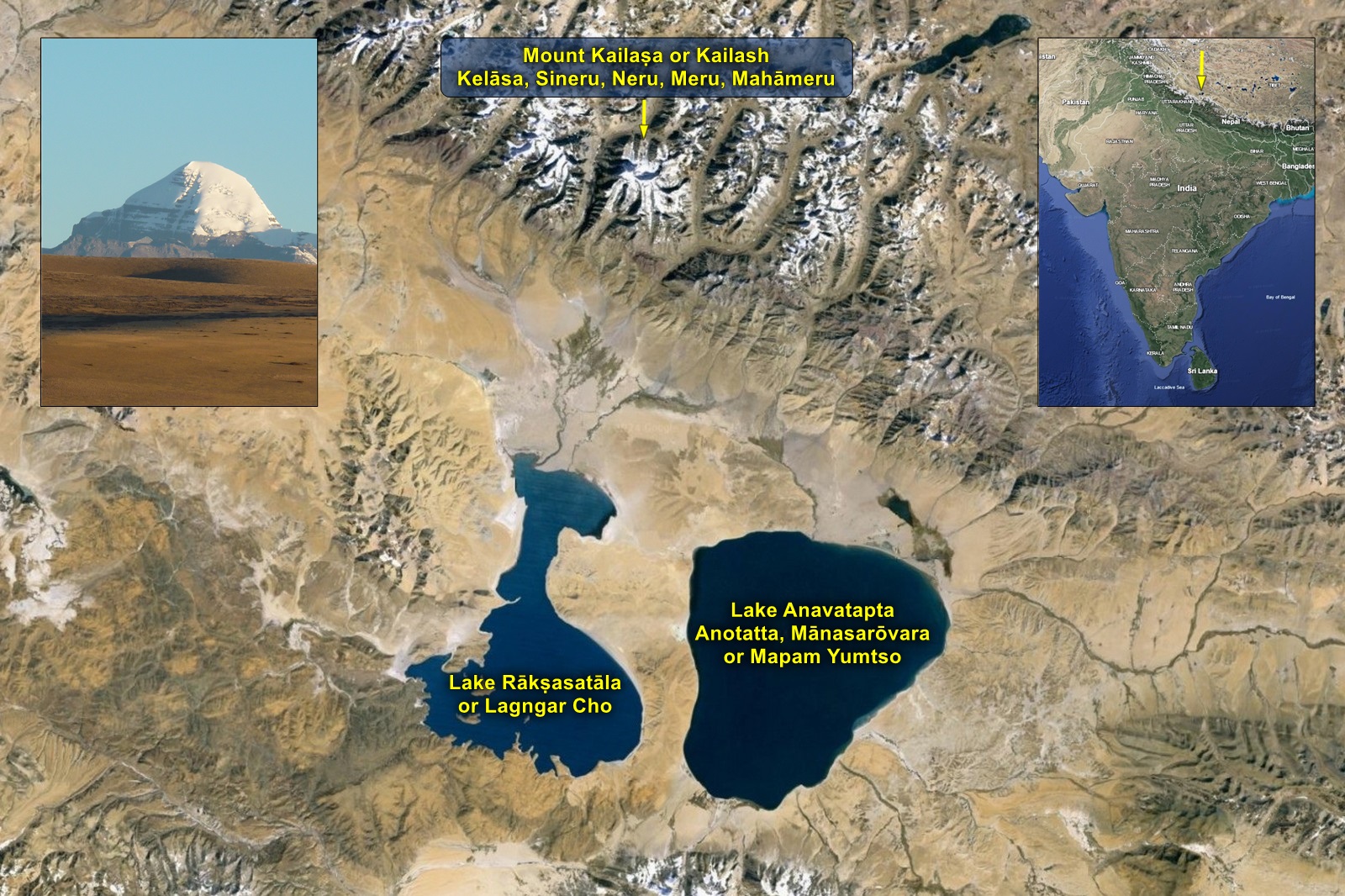
The map shown above is approx. 160 km from East to West and 120 km from North to South
The Buddha is said to have traversed the great distance from Uruvelā to the Himālayas to spend the day at Lake Anotatta during the time he was trying to convert the Uruvelā Kassapa, shortly after the Awakening, but the latter was still not convinced of the Buddha’s superiority. It is mentioned as one of the seven great lakes in the Himālayas.AN Bk. 7.66. The others are named as Sīhapapāta, Rathakāra, Kaṇṇamuṇḍā, Kuṇāla, Chaddanta, Mandākinī
In the same Aṅguttara discourse Mount Sineru is mentioned as the King of Mountains (
Sineru takes on mythical proportions in the Commentaries, where the Tāvatiṁsa Heaven in said to be positioned on its summit, and the abode of the Demons at its base.SnA ii.485